30th July 2025, India
Global Collaboration Reaches Orbit
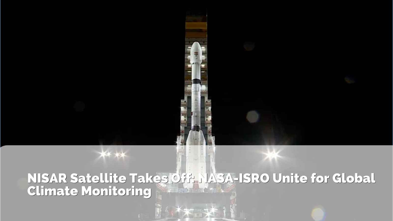
On July 30, 2025, a historic collaboration between the Indian Space Research Organisation (ISRO) and NASA witnessed a milestone as their jointly constructed NISAR (NASA‑ISRO Synthetic Aperture Radar) satellite launched successfully on ISRO’s GSLV‑F16 rocket from the Satish Dhawan Space Centre, Sriharikota.
With a weight of 2,392 kg, NISAR is to be placed in a sun-synchronous polar orbit at about 747 km height with an inclination of 98.4°, which will allow global observations every 12 days to be made persistently.
Dual-Frequency SAR: High-Precision Mapping under All Weather Conditions
NASA’s L-band and ISRO’s S-band Synthetic Aperture Radar (SAR) payloads, with this, the project is the first in the world to combine dual-frequency radar systems on a single mission. A cutting-edge 12-meter unfurlable mesh reflector antenna, which stretches in space like a gigantic umbrella, holds the radar systems. For monitoring tiny land deformations and subsurface geological changes, the longer wavelength L-band radar is very useful because it can penetrate dense forest cover, soil, and even ice covers. However, more intricate surface characteristics and alterations, such as cropping pattern changes, urban creep, and coastal erosion, are seen by the shorter wavelength S-band radar.
Combined, the dual-band system enables multi-layer imaging of Earth, a feature no single-frequency satellite system has. Optical sensors are restricted to day and clear weather, whereas radar can be utilized during day or night, and even pierce cloud cover, allowing all-weather, 24/7 observation of Earth’s active surface. This is particularly important in observing those regions subjected to seasonal monsoons, tropical storms, and polar darkness.
At its center is SweepSAR technology, with which NISAR can sweep broad sections of Earth’s surface continuously instead of capturing narrow, fixed-strip imagery. This produces high-res data across broad regions of geographics at unprecedented speed and frequency.
Especially, NISAR will map almost all the land and ice-covered parts of our world every 12 days, collecting a data-rich repository that researchers will be able to employ to monitor small glacier shifts, trace tectonic fault lines, examine groundwater loss, and monitor long-term land use change.
| Parameter | Details |
| Mission Name | NISAR (NASA-ISRO Synthetic Aperture Radar) |
| Launch Vehicle | GSLV Mk II (India) |
| Mission Type | Remote Sensing |
| Primary Agencies | NASA (USA) and ISRO (India) |
| Orbit Type | Sun-synchronous, near-polar orbit |
| Revisit Frequency | Every 12 days |
| Radar Systems | L-band (NASA) & S-band (ISRO) Synthetic Aperture Radar |
| Antenna Size | 12-meter unfurlable mesh reflector |
| Imaging Resolution | Centimeter-level surface deformation accuracy |
| Coverage | Nearly all of Earth’s land and ice surfaces |
Key Facts About the NISAR Mission:
Eyes on Earth: Climate, Disasters, and Ecosystem Monitoring
NISAR’s high-resolution imaging capabilities will enable the international science and policy communities by tracking:
- Polar ice, wetland, and forest biomass environmental changes
- Earthquake, volcanic, and landslide geologic hazards
- Soil moisture and groundwater levels hydrological changes
- Agricultural and urban dynamics, coastal erosion, and sea-level change
It’s a game-changer for disaster resilience, climate modeling, and ecosystem health monitoring
Two Nations, One Mission: Decade‑Long Partnership
The countdown marks the culmination of a decade of intercontinental team work between ISRO, NASA, and JPL engineers. It involved technical coordination in the form of hardware integration, key modifications like replacing the radar antenna reflector and stringent calibration procedures.
A significant setback was when NASA‑constructed antennas needed redesign and reflective coating. The satellite was shipped to India in late 2024 and was subjected to further testing deep into 2025 prior to ultimate integration and mission readiness
Precision Launch and Deployment Timeline
Launched around 5:40 PM IST (8:10 AM EDT), GSLV‑F16 delivered NISAR into its target orbit within 19 minutes. ISRO’s ground teams confirmed communication around 8:29 AM EDT approximately 20 minutes post-launch indicating nominal operations
Following launch, NISAR will undergo a 65-day commissioning phase involving daily tests, calibration, and activation before entering full operational status
Mission Scope and Scientific Impact
With a mission footprint across nearly all land and ice surfaces, NISAR’s advanced imaging capabilities will generate high-resolution 3D surface mapping, detect minute ground deformations, and support diverse scientific objectives ranging from climate change analysis to urban stability monitoring and agricultural assessment
Experts expect NISAR’s data to transform disaster early warning systems, policymaking in climate adaptation, and scientific research in hydrology, ecology, and geology
What Lies Ahead
Once systems are confirmed, NISAR will deliver open-access data to the global research community, enabling scientists, policymakers, and disaster response agencies to gain unprecedented insights into Earth systems. Its orbit and scanning cadence make it particularly valuable for longitudinal studies of environmental and geological processes
Anticipated applications include:
- Disaster response (earthquakes, landslides, floods)
- Environmental and climate science (ecosystem change, ice sheet dynamics)
- Infrastructure and resource planning
- Agriculture monitoring and water resource management
Conclusion
The first successful launch of NISAR is a milestone in Earth observation, a high-technology dream and vision of planetary stewardship. As it begins operational life, the satellite capability to image the whole Earth every 12 days at centimeter resolution will introduce a new era of data-driven insight into how our planet is changing geologically, ecologically, and climatically.
Aside from its technological capabilities, NISAR is something much more: a global sense of commitment to scientific cooperation and collective responsibility. In the face of geopolitical divisions and climatic necessity, this collaboration between NASA and ISRO is proof that the world’s premier space organizations can unite to face challenges that go beyond the national domain. From witnessing glaciers melt and oceans swell to tracking urban development, tree cover loss, and tectonic activity, NISAR’s information will be an essential tool for governments, researchers, disaster management agencies, and climatologists globally. NISAR is a testament to what can be accomplished when countries opt for cooperation instead of competition and the greater good of the planet as opposed to self-interest. In a more subdued meaning, when the satellite starts broadcasting high-fidelity images and radar information back to Earth, it sends out a message that science which is shared can bring us together in striving for a sustainable and secure future for everyone.
With NISAR, human beings do not merely look at the Earth we better understand it, we take better care of it, and we prepare more boldly for what is ahead.